Fly safe in any weather with the essential drone mobile app for UAV & DJI pilots. Before you take off with your quadcopter, ensure you're equipped with the latest air map for DJI pilots.
Experience the ultimate companion app for both drone enthusiasts and professional pilots. The Drone Forecast app helps you deploy your drone more safely by providing crucial weather information and awareness of no-fly zones through an intuitive air map.
Ensure safe flights on your UAV, RC Aircraft, or DJI drones with all the necessary information consolidated into one convenient drone mobile app:
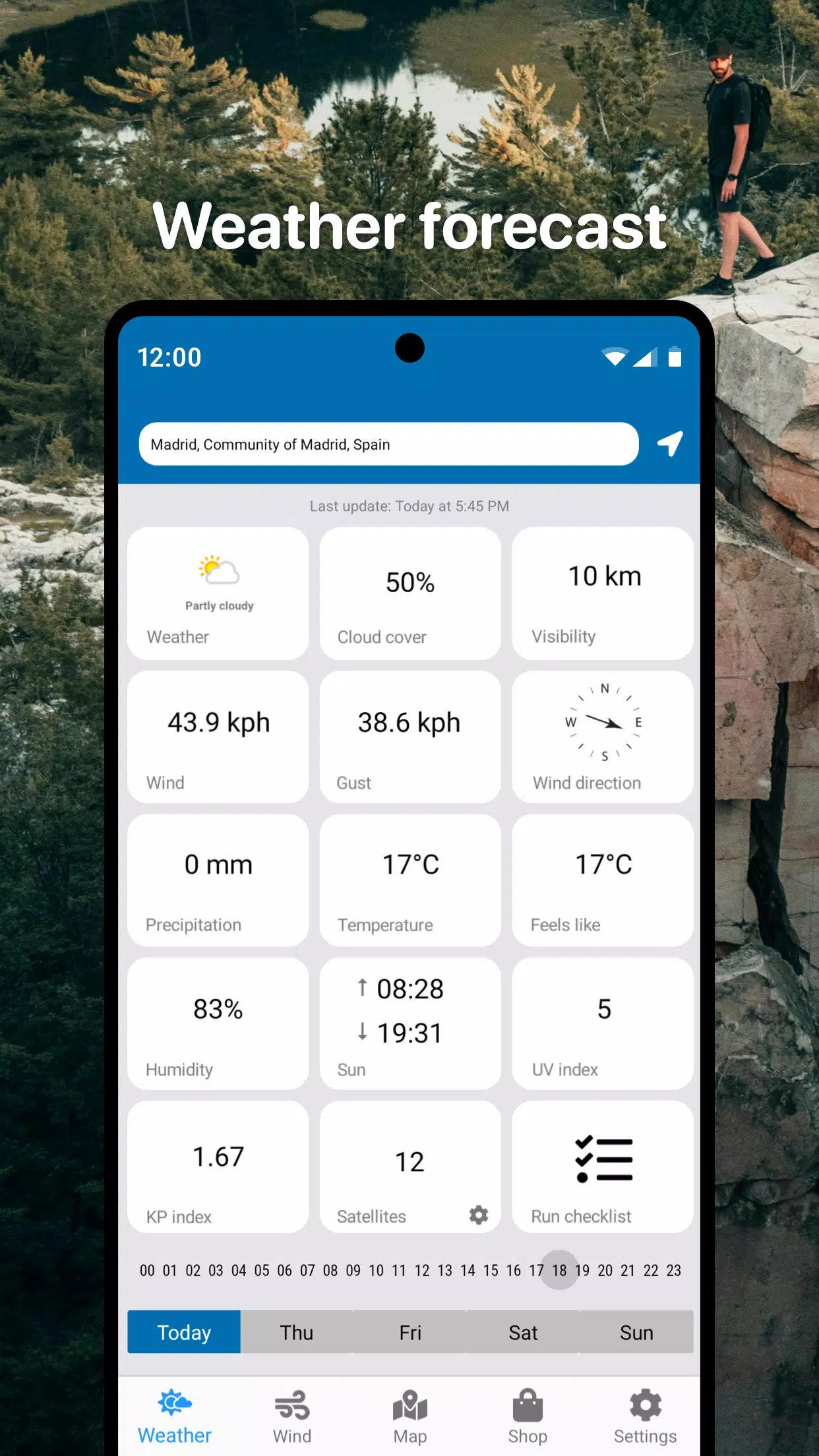
- Detailed real-time weather forecasts tailored for UAVs in your selected area
- Hourly and 3-day forecasts to plan your flights effectively
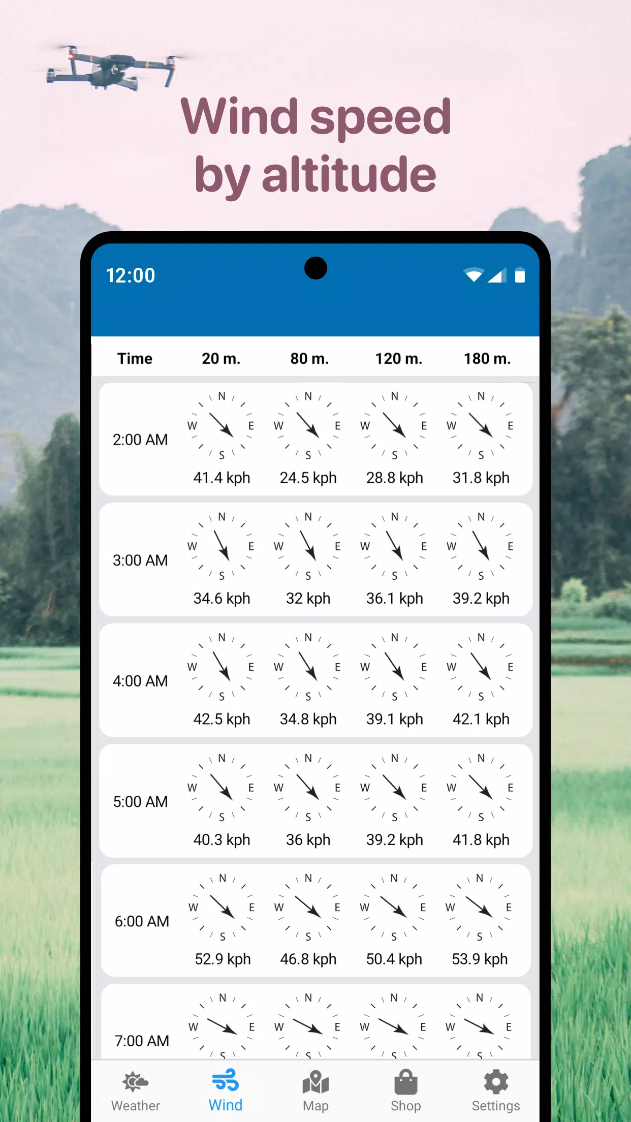
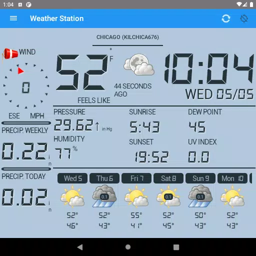
- Comprehensive wind data, including speed, maximum gusts, direction, and altitude-specific details
- Sunrise and sunset times to optimize your flight schedule
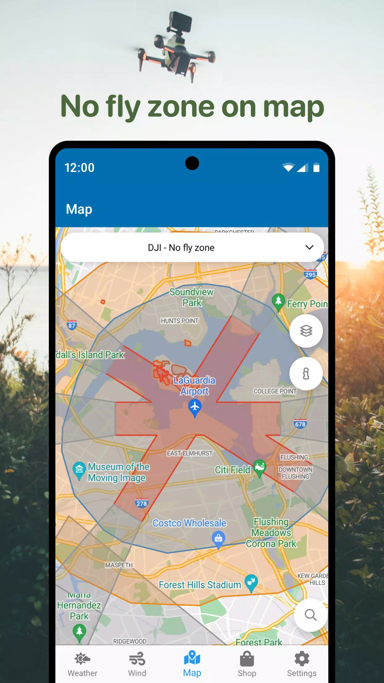
- No Fly Zone air map to keep your drone out of restricted areas
- Integrated compass to accurately detect wind direction
- Additional useful parameters specifically for DJI drones and more
Navigate to safe airspace for your quadcopter flights using the No Fly Zone map. Steer clear of airports, heliports, and other areas marked in red to ensure compliance and safety.
The drone mobile app is your go-to assistant for planning safe drone flights, helping you avoid unfavorable weather conditions and restricted zones. Access essential flight planning information quickly, including wind forecasts for UAVs and no-fly zones on the drone map.
This universal tool is compatible with an air map for deploying various drones, including DJI Mavic, DJI Phantom, Inspire, DJI Mini, DJI Air, Spark, Parrot Bebop, Xiaomi, Autel, Walkera, Yuneec, Hubsan, FIMI, Syma, Volocopter, Skydio, and other Unmanned Aerial Vehicles (UAV).
Download the mobile drone app now to pilot your RC Aircraft, UAV, & DJI drones safely and with confidence.
What's New in the Latest Version 1.4.5
Last updated on Oct 22, 2024
- Improved performance